Multi-Purpose Data Processing
Multi-Purpose Data Processing
Our team includes 7-12 members. They are advanced computer users. As of 2019 the Consortium possesses 10 desktop computers and 4 laptop computers (for field-works). There are two local networks in two our offices with high-speed access to internet.
| Major services |
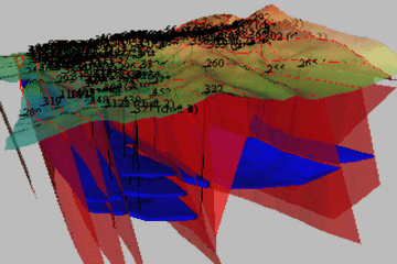
The main data processing services provided by the crew - processing of geological field data and archive data, 3D-modeling in Micromine forestimation of the reserves and prospected reserves. To solve these task we used methods as follow: map digitizing, composing of georeferensed aerial-photo plans of surface, interpretation of all types of aerial-photos and satellite images, creation of data bases related to GIS, design and maintaining interactive archives, raster images processing, making of reports and office documents, nonlinear assemblage of technical video, visualization and 3D-modeling (Micromine), C++ programming etc.
Because of high skillness of the personnel the list of services could be substantially expanded with easy accordingly to new tasks. The results can be presented in any format as defined by a customer.
Examples
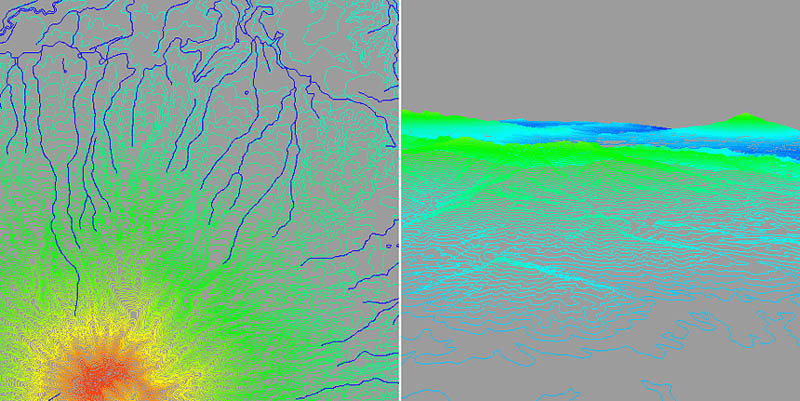
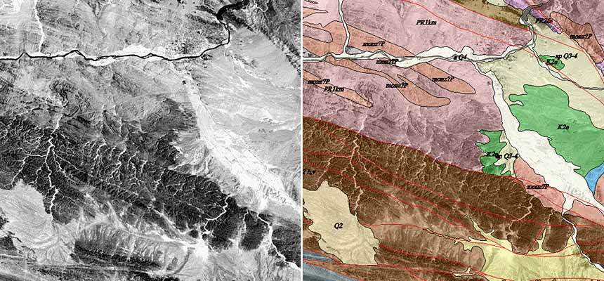
Example of geological interpretation of a satellite image
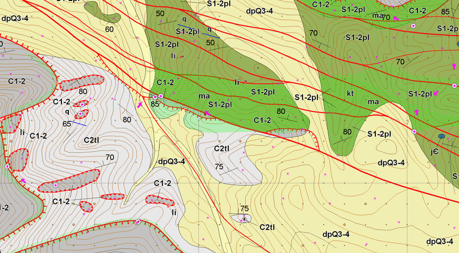
 Example of a digitized topographic map
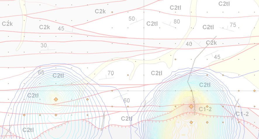